The Shoal Creek Watershed Action Plan aims to restore Shoal Creek to a fishable, swimmable creek, suitable for contact recreation. Through the plan’s implementation, the creek’s water quality is monitored using the Texas Surface Water Quality Standards and the City of Austin’s Environmental Integrity Index (EII) that was developed by the Watershed Protection Department (WPD).
WPD collects and makes available EII scores and data through their ATX Watersheds website. And, the Shoal Creek Watershed Characterization Report, produced in 2019 to support the creation of the Watershed Action Plan, contains comprehensive information related to the challenges facing Shoal Creek and its watershed health.
The State of Texas and the US Environmental Protection Agency have established surface water quality standards for temperature, dissolved oxygen, pH and more for most water bodies in the state, depending on their geographic location and use.
Shoal Creek is part of the Colorado River basin. Water quality monitoring sites and data for this region is made available on the Lower Colorado River Authority (LCRA) Colorado River Watch Network website. Their interactive map shows all the past and current monitoring sites throughout the entire Colorado River basin.
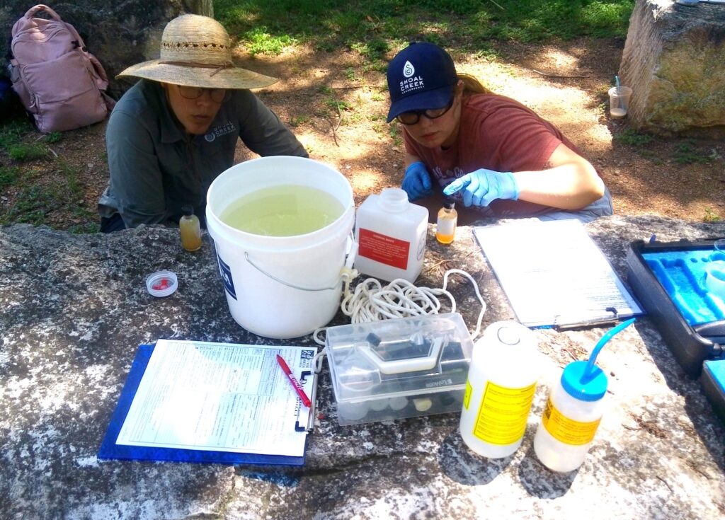
In mid-2025, select Shoal Creek Conservancy staff members earned their water quality testing certifications through Texas Stream Team and the Colorado River Watch Network and began conducting water quality monitoring at site 237 on Shoal Creek, just south of 34th Street and the Seiders Springs greenbelt. Past data at site 237, including SCC’s data reported to LCRA beginning in 2025, is available on the Colorado River Watch Network website.
Shoal Creek Site 237 Water Quality Data
If you are interested in becoming a citizen scientist and certified water quality monitor for a Central Texas waterway, reach out to Texas Stream Team today.
Back to Projects
